The Qatari Ministry of Transport ordered all vessels to cease navigation in its waters on October 4 due to "GPS technology malfunctions" causing route disruptions, alongside a surge in regional GPS interference incidents. According to Windward reports, hundreds of vessels encounter signal disruptions daily in the Arabian Gulf and the Strait of Hormuz, with some AIS signals displaying virtual coordinates deep into inland areas.
On October 6, the Qatari Ministry of Transport partially lifted the ban on maritime activities across its waters, allowing unconventional vessels to navigate during daylight hours while prohibiting nighttime navigation. This decision came after a two-day complete suspension of maritime activities on October 4.
Despite unresolved GPS system technical issues, authorities caution that navigation accuracy remains compromised. Per the latest directives, the Qatari Ministry of Transport imposes strict controls on leisure vessels, mandating return to port before sunset and limiting activities to within 12 nautical miles of the coastline.
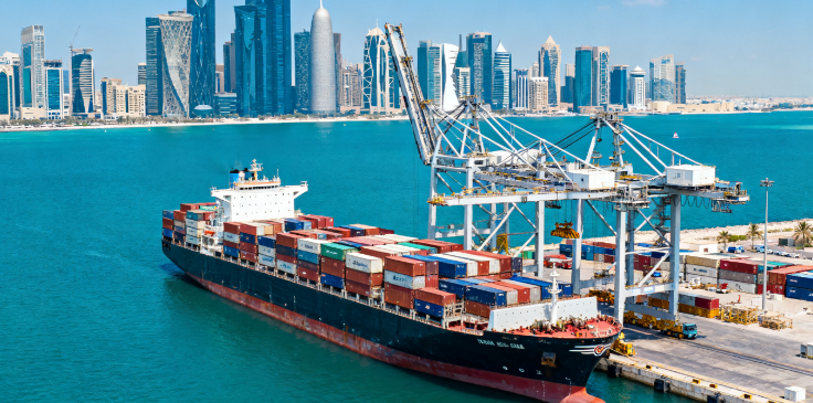
While the initial ban uncommonly led to a complete cessation of maritime activities in a country's waters, analysis by Trident Risk Advisors indicates that LNG transport ships and other commercial vessels appeared to receive exemptions. AIS data reveals ongoing vessel operations near Doha and Ras Laffan ports.
Trident notes reports from Doha users indicating frequent "drifting" of positioning signals towards Iran, heightening speculations of potential electronic interference or GPS spoofing activities in the region. These events corroborate escalating concerns over navigational security in the Persian Gulf and broader maritime areas.
Analyses highlight the vulnerability of global maritime navigation systems showcased by this navigation interruption incident. From the Baltic Sea to the Persian Gulf, GPS interference and spoofing have become enduring threats to shipping lanes. Concerns over "hybrid interference," blending technical malfunctions, human interventions, and geopolitical signals, are on the rise, posing tangible risks to international trade routes and energy supply chains.
As per reports by the International Maritime Organization (IMO), an increasing number of maritime areas, especially those near conflict zones, face a rise in GPS and other GNSS system interferences or spoofing events, heightening the likelihood of vessel collisions and groundings. The IMO expresses heightened concern over the growing occurrences of GNSS interference and spoofing events in areas such as the Black Sea, eastern Mediterranean, and the Red Sea.
The Qatari Ministry of Transport underscores that the partial lifting of the ban reflects a commitment to the "safety and safe return to port of mariners," urging all parties to strictly adhere to the revised navigation regulations.


China——Brazil Trajectory Tracking


+86 532-85066033/34